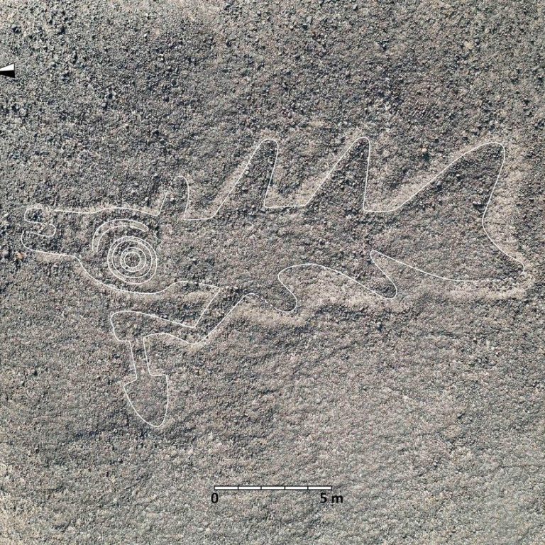
How AI models are helping to reveal South America's archaeological sites
Analysis of aerial and satellite images has rapidly identified ancient sites, but human expertise is still essential in refining the outcomes.
Artificial intelligence (AI) is revolutionising the search for archaeological sites, and nowhere is this clearer than in South America.
The Art Newspaper
April 14, 2025
© Photographs by Yamagata University Institute of Nasca
As with all AI use—at least for now—human experts are still needed, but AI can analyse vast quantities of data much much more quickly.
The web application known as GeoPACHA (the Geospatial Platform for Andean Culture, History and Archaeology) illustrates the benefits of AI. Researchers loaded the app with high-resolution satellite and aerial imagery of the Andes.
During its early phase, from 2020 to 2021, teams manually scoured these images, covering an area 180,000 sq. km in size, to record any “loci”—discrete archaeological remains—that they could spot.
Nous avons besoin de votre consentement pour charger les traductions
Nous utilisons un service tiers pour traduire le contenu du site web qui peut collecter des données sur votre activité. Veuillez consulter les détails dans la politique de confidentialité et accepter le service pour voir les traductions.